|
Colours of Iceland |
|

| Home |
| Presentation |
| Reykjavik |
| South West |
| South |
| Eastern fjords |
| Northern region |
| Snaefellsness peninsula |
| Birds |
| Wildlife |
| Icelandic horses |
| Sheep |
| Flowers |
| Volcanism and mineralogy |
| Fishing |
|
Thingvellir is at the same time an historical and a geological place of Iceland. Since 930 and for 300 years this natural amphitheatre has been the most famous place for the sessions of the parliament,. Delegates of each region and major cities of Iceland came here once a year to debate the laws, fix up conflicts and choose their leaders. Located on the coast of Thingvallavatn, the biggest lake of the country, Thingvellir gathered all the quality to welcome all the delegates and their suites. There you can fill the power of the two tectonic plates sustaining Iceland, but also discover the big fractures and the rift valley created by their movements.
Then the column fills again, and the cycle starts again. Life status of a geyser is pretty fragile : the merest change in the water supplying, in the temperature of the magma outcrop, in the shape and size of the water column can deepen the geyser, or just let it vanish. Geysir, the Big Geyser, is now asleep, but each local earthquake can bring him to life again. In June 2000, a seism awoke it temporarily. Strokkur is now the king of Geysir with its 30 meters and it’s metronome like regularity (he shoots out every 7 minutes). Do not miss the “Bubble”, a very unique moment where the vapour is gaining the surface, creating an amazing blue bubble of water.
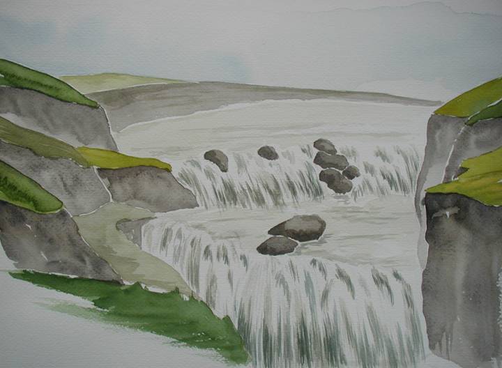
Gulfoss, « the golden waterfall » is the preferred one for Icelandic people: 32 meters high broken in two successive waterfalls, in a deeply embanked canyon, 2.5 kilometers long. With nice weather conditions, tenths of rainbows play in the sprays. This wonderfull place almost vanished at the beginning of the 20th century when it has been sold to a foreign company to be used as a power station. Fortunately, the farmer daughter fiercely fought the project : she’s even gone by foot to Reykjavik to convince the government of the consequences of such a project. She was assisted by a young lawyer who will later be president of the country. Since then Gulfoss is a protected national park. Despite is flow, Gulfoss can freeze partially or totally during winter. In 1930 and 1948 gigantic floods even submerged totally the great canyon.
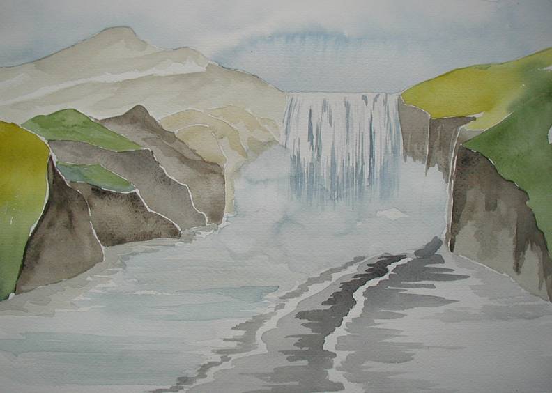
Skogarfoss will make you feel how powerful a waterfall can be ! You can come very close, even enter in the sprays, and vibrate at the deafening rumbles of water cube meters falling from 60 meters high. The wide black water bed of the river let you imagine the flow that this waterfall can reach. A local legend tales that a rich and stingy man dropped his treasure in it : only a golden ring has been recovered but in the glints of the cascade, you may sometimes see the golden coins glittering.
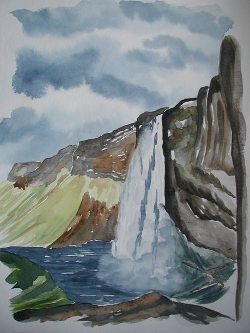
Seljalandsfoss is only 60 meters high but it’s the only waterfall where you can walk behind the water curtain. A path at the bottom of the cliff allow the walker to discover what is on the other side of the waterfall. On the border of the road along the shore, you will see a lot of waterfalls, such so thin that the wind prevent the water to down to the ground : amazing view of the sprays going upward, and falling in the waterfall again !
On good weather conditions, Westmann islands emerge from the mist. A fortnight islands and many small ones are a shelter for the biggest puffin colonies of Iceland. These islands are born from an intense volcanism. Surtsey is the last born, from the blasts that occurred in 1963. Four years of bustling volcanic activity have created a 180 meters high island. Surtsey is now a protected place where only scientists are allowed to stay: they study how life colonizes year after year this new place. In 1973, a new blast shook Heimay : half of the island was engulfed under 30 millions tons of lava. Ready to save their homes, inhabitants saved the port with millions of liters pumped out of the see. Next year, they were back to rebuild their homes.
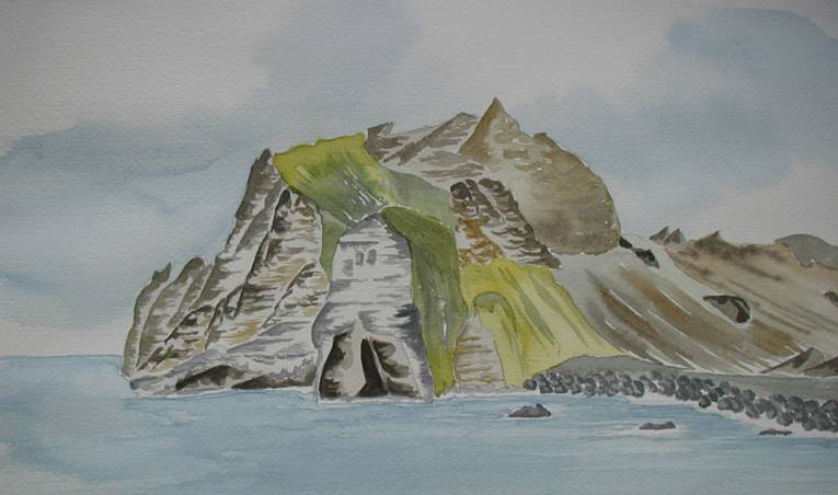
The cliff of Dyrholaey, near Vik, has a hole at its bottom created by the slow and patient work of the waves. 120 meters high, it’s like a stem in the atlantic ocean. The long beach of dark sand shelters millions of birds.
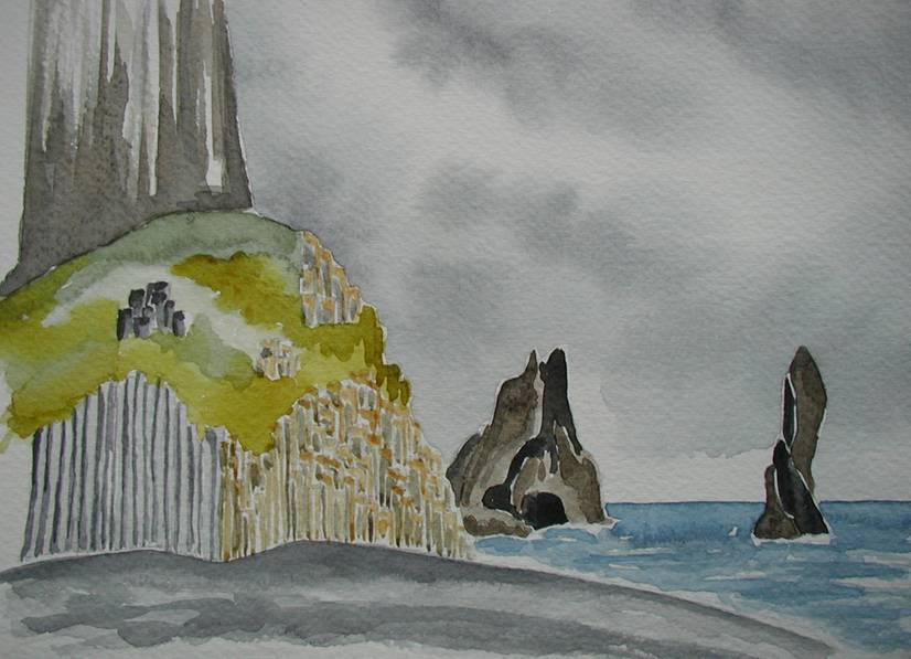
The small beach of Dyrhólaey is surrounded by beautiful basaltic organs. These natural sculptures are created when the lava can cool very slowly.
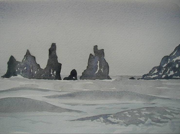
On the east, the ‘needles’ of Vik are often like ghosts rising up from the mist. Vik is the southern most village of Iceland. The cliffs overlooking the city are a playground for the children were the go to collect
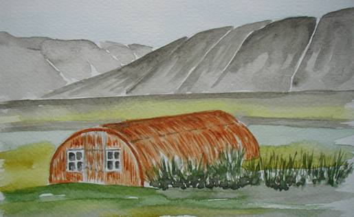
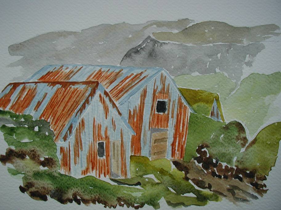
There are many hints to confirm the strategic geographic position of Iceland in the northern Atlantic, and especially during the second world war. Some 60 years old cars and sheds are still used in the countryside. A Willis jeep with a locally designed wood top… Sheds used as barns for the cows or the sheeps ! And a NATO military base is still in use near Reykjavik.
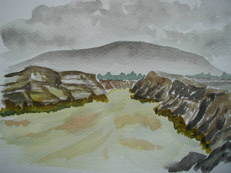
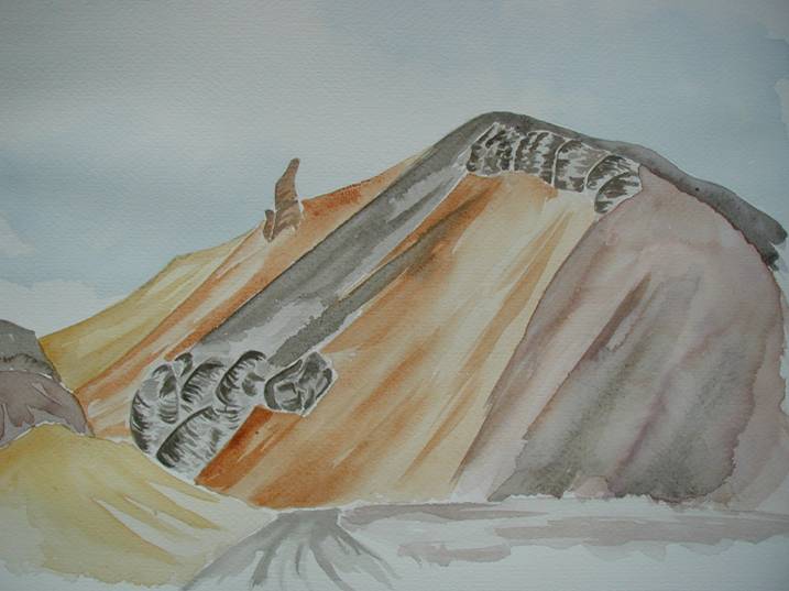
You cannot leave the region of the south without discovering the amazing colors of the Landmannalaugar mountains. From yellow-earth to red, pink, violet-purple, yellow, gray, all the shades are used to transform this region into a challenge for the painters. During the day, as the light changes, contrasts gives life to all these landscapes. Colours are due to Rhyolit: a very slow cooling allowed chemical reactions to occur, linked to the great geothermic activities. Rhyolit is acid and prevent the vegetation to grow, creating a desert with only mineral based colours. Afraid of supernatural forces supposed to live here, farmers avoided this region for centuries, even when sheep were getting lost
|